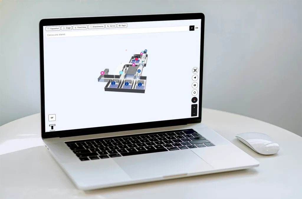
3D Maps for Airports

The 3D map that guides passengers and highlights every area of the airport
Request a DemoDiscover 3D Maps by Subscription

The entire airport navigable and at your fingertips
We transform airports into interactive digital environments, accessible from any device.
Passengers benefit from clear wayfinding and up-to-date information, airport operators gain advanced management tools, and brands enjoy strategic visibility on shops, restaurants, and commercial areas.

From floor plan to 3D map

01
  • Upload the airport’s technical floor plan
  • Analysis of levels, gates, services, and commercial areas
  • Creation of a complete, fully navigable digital map

We set up the airport data in 3D

02
  • Add gates, check-in counters, lounges, shops, and services
  • Real-time updates

Your 3D airport is online

03
  • Accessible via mobile, custom app, and interactive kiosks
  • Simplifies passenger orientation and makes information and services instantly accessible
  • Highlights gates, restaurants, shops, and strategic areas
3D Airport

Three key functions of the 3D map for airports

Three key functions of the 3D map for airports

Guide travelers

Smart wayfinding

Step-by-step routes to gates, check-in, shopping areas, lounges, and services
Multi-level navigation across terminals and connected areas
Accessible routes for passengers with special needs
Keep your operations organized

Always up-to-date information

Flight status and gate updates in real time
Monitor security checkpoint wait times
Information sheets for services, lounges, and shops
Create and sell premium spaces

Commercial visibility and premium promotions

Highlight premium brands first on the map
Custom 3D models for brands
Priority search results and increased visibility along suggested paths
Our Products

Products for interactive spaces

Complete the 3D map with digital kiosks, people counting devices, and beacon technology to improve wayfinding, flow analysis, and communication, transforming spaces and events into interactive digital environments.

Benefits

Advantages For Passengers

The solution provides clear and immediate orientation within the airport, ensuring a smoother and less stressful experience with quick access to information and services.

Benefits

Advantages For Airport Operators

Reduces passenger inquiries through digital wayfinding, collects strategic data to optimize spaces and flows, and manages centralized communications with real-time updates on gates, services, and operational changes.

Everything You Can Do with Our 3D Map

Standard

Smart search

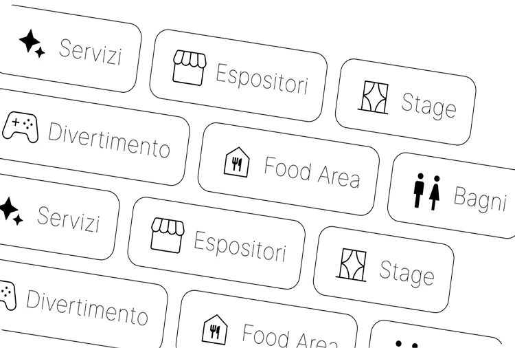
Filters for categories, themes, stands, brands, and services.
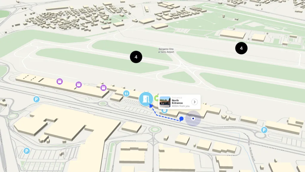
Standard

Real-time data

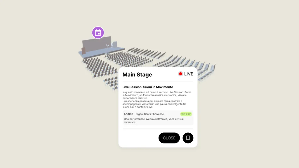
Information and content updated instantly.

Standard

Multilingual

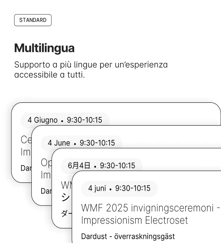
Support for multiple languages for an accessible experience.

Standard

Multi-level navigation

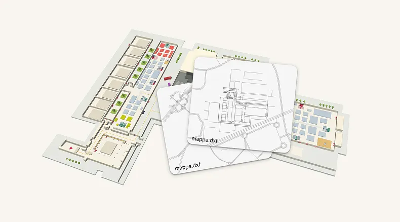
Explore locations across multiple floors or levels

Standard

Interactive QR codes

Immediate access to content and points of interest via scanning.

Premium

Beacon

Proximity technology for notifications and personalized content.

Premium

Wayfinding

Guided navigation with optimized routes within the location

Premium

Analytics

Monitor user interactions with the map.

Premium

Premium Visibility

Greater exposure for sponsors, brands, and activities on the map.

Easy to Use

How you can use Mapdo

Mapdo is designed to be accessible and integrable across multiple devices and platforms, making the map available wherever it’s needed.

Web App
The 3D map can be integrated directly into the website of your venue or event, accessible from any device.
Custom or White-label App
Ability to develop a fully customized app on request, accessible from any device.
Interactive Digital Kiosks
Totems and interactive screens placed in strategic locations to facilitate visitor orientation.