FAQs
Everything you need to know about Mapdo, from features and setup to integrations and pricing.
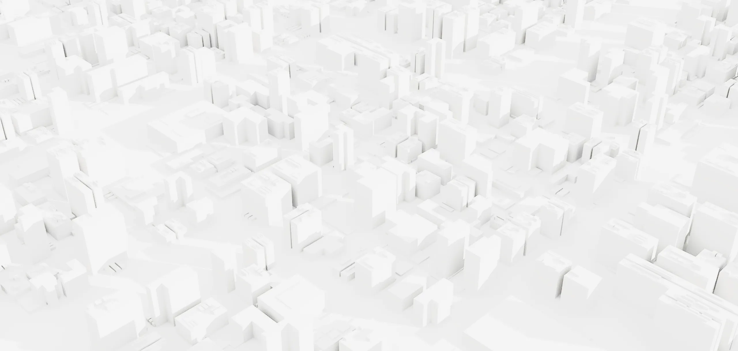
Mapdo is a platform developed by Tredo for the creation of interactive 3D maps. It allows transforming a technical floor plan into a navigable digital map, useful for orienting within events, trade fairs, and complex spaces, with content always updated in real time.
Unlike static maps, Mapdo offers a dynamic digital map with real-time updates, intelligent navigation, and search functionalities. It also allows analyzing user behavior and improving flow management.
Sponsors and exhibitors obtain greater visibility through strategic positioning, customized 3D models, and sponsored content.
The subscription solution is designed for permanent spaces, allowing continuous updates and use of the platform over time.
Yes, it is possible to activate technical support both remotely and on site during the event.
Mapdo is ideal for Trade Show, Festivals and Music Events, and events with articulated spaces and numerous points of interest.
The 3D map by Subscription is ideal for airports, shopping malls and retail spaces, stadiums and arenas, hospitality facilities, theme parks, and railway stations, in other words, all complex spaces that need to be always online, with large flows of people and numerous points of interest.
Ideally, just a few days. The conversion process from when the file is submitted takes up to a couple of days, or even faster if the DXF file is managed autonomously according to the provided specifications; in that case, it is almost immediate.
Yes, it is possible to customize colors, icons, and interface to align it with the brand identity.
Yes, it is possible to integrate 3D configurators and viewers within Mapdo, enabling a fully interactive digital experience.
You can your spaces or products, customize them in 3D, and make online booking or purchasing simple with:
3D Viewer
Explore products and spaces from every angle, with animations and interactive hotspots.
3D Configurator
Customize products and spaces in real time by combining variables, colors, and textures, and complete the experience with booking or direct purchase.
Yes, absolutely.
At this stage, you can choose the level of management: you can work independently through the dashboard or fully or partially entrust the management to our team.
On the “How Mapdo works” page, you can find all the details.
It depends on the needs and the type of map.
For 3D maps in subscription:
in the annual plan the setup is always included, while in the monthly plan it is provided separately.
For 3D maps for events: it depends on the needs and the type of plan selected.
All extra service costs are described on the Pricing pages.
Additional costs may include advanced customizations, custom 3D models, API integrations, and dedicated support.
Yes, the platform supports API integrations to connect with CRM systems, event management systems, and other digital platforms.
Yes, Mapdo offers a white-label solution that allows completely customizing branding, logo, and interface.
No, the map can be integrated via iframe within any website and used directly via browser. The app is only necessary for advanced functionalities such as indoor localization with beacons.
The map is accessible from desktop, smartphone, and tablet via browser. It is also available as an app for Android and iOS, including a white-label version.
They can ensure operational continuity even without a connection for short periods, but an active connection is required for full functionality, updates, and real-time data.
The installation is relatively simple and involves mounting the sensors on the ceiling, typically a few meters above the ground. A network connection and power supply are required, and to ensure proper operation it is recommended to rely on Mapdo technicians.
They are Bluetooth devices that enable indoor localization and trigger contextual content on the map based on the user’s position.
The People-Counting Devices system uses sensors installed at entry points to detect entrances and exits, providing real-time data and statistics on foot traffic.
Yes, an app is needed to detect Bluetooth signals and enable localization and interaction features.
Yes, Mapdo is compatible with existing kiosks (via web or Android app) and allows centralized management of multiple devices through a dashboard.
Interactive QR codes allow quick access to the 3D map or to specific points of interest. They can be physically placed in the space to offer immediate access to digital navigation and content.
The map supports multi-level navigation, allowing users to easily explore spaces distributed across multiple floors (such as trade fairs or shopping centers) and switch from one level to another in an intuitive way.
Premium visibility allows highlighting sponsors and brands through greater presence on the map, privileged zoom levels, sponsored content, and customized 3D models.
The digital wayfinding system is based on a walkable area from which obstacles (stands, shops, closed areas) are excluded. In this way, the platform automatically calculates the most efficient route between two points on the map, improving user orientation in complex spaces.
Yes, Mapdo integrates a Smart search system combined with advanced filters. Users can search and filter content by categories, thematic areas, stands, brands, or services, facilitating quick access to information.
No, Mapdo collects only anonymous data, in compliance with privacy and applicable regulations.
Mapdo collects data on visits, positions, interactions, searches, and clicks.
It collects usage and interaction data with the map, including flows and behavior, exclusively in aggregated form.