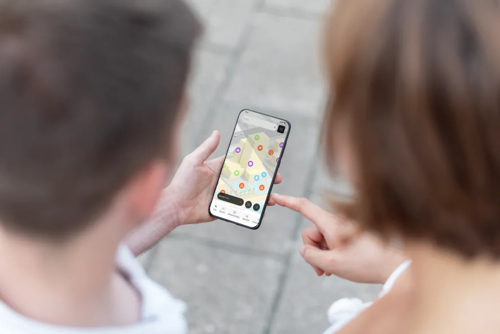

Indoor navigation has become a key element in managing complex spaces such as shopping malls, airports, events, and large facilities.
It is no longer just about “finding your way”, but about building digital experiences based on maps, data, and real-time interaction.
Each platform interprets wayfinding differently: some focus on enterprise integration, others on ease of use or positioning accuracy.
Here is an overview of the 5 most relevant tools today.
1. Pointr
Pointr is one of the most advanced solutions in the indoor positioning sector.
Its approach to wayfinding is based on a combination of high-precision positioning and AI-driven maps, with a strong focus on real-time “blue dot” navigation.
The key strength is its ability to integrate positioning, mapping, and behavioral data, making the navigation experience continuous and contextual.
Wayfinding as an intelligent and predictive localization system.
2. MapsPeople
MapsPeople (MapsIndoors) is an enterprise platform that transforms complex buildings into navigable digital ecosystems.
Its wayfinding system is based on interactive maps integrated with business systems and space management.
Navigation is strongly connected to the concept of smart buildings, where the map becomes an operational layer linking people, environments, and services.
Wayfinding as a digital infrastructure for space.
3. Situm
Situm focuses on a more technical and modular approach to indoor positioning.
Its system combines multiple technologies (Wi-Fi, BLE, sensors) to provide accurate localization and real-time routing.
The main focus is integration flexibility: wayfinding is often embedded into existing apps or systems.
Wayfinding as an integrable localization service.
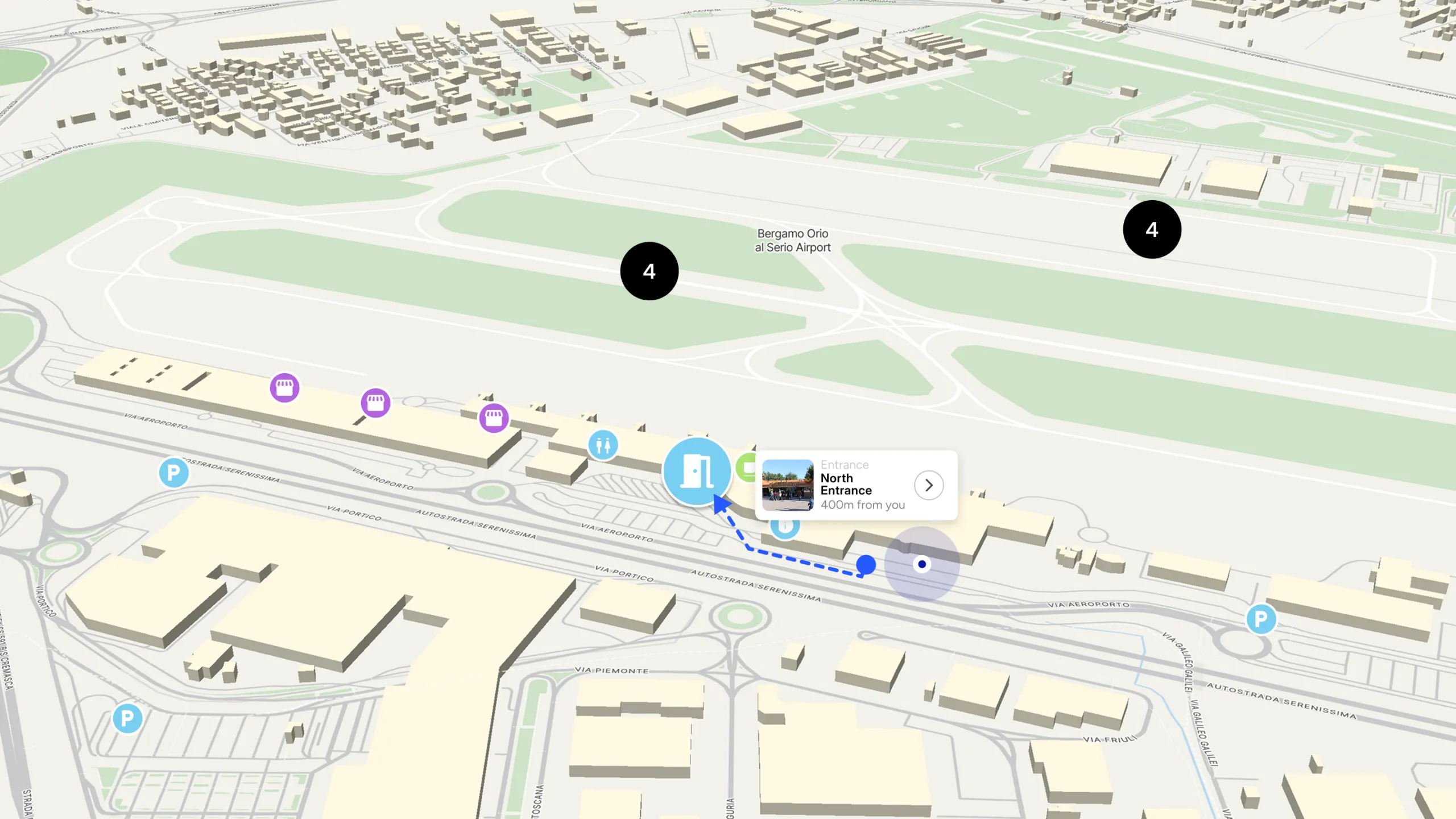
4. Mapdo
Mapdo introduces a different approach compared to traditional indoor navigation systems.
It goes beyond basic wayfinding and works with the 3D map as an operational environment.
Its wayfinding system operates on three levels:
- spatial orientation through an interactive 3D map
- integration with digital kiosks for on-site space management
- activation of commercial content and flow analytics
Navigation becomes part of a broader system where space is not only explored, but also managed, monetized, and analyzed.
Wayfinding as a feature for space valorization.
5. Mapplic
Mapplic is a solution focused on creating interactive maps for public and private environments.
Its approach to wayfinding is based on customizable maps and simplified navigation, often used in museums, shopping malls, and events.
Its strength lies in turning static maps into interactive web experiences without complex infrastructure.
Wayfinding as simple and accessible map digitalization.
In summary
The indoor wayfinding market is no longer just about finding directions, but about transforming space into a digital, interactive, and data-driven environment.
- Pointr and MapsPeople focus on intelligence and infrastructure
- Situm focuses on technical flexibility
- Mapplic focuses on simplicity and accessibility
Mapdo focuses on the connection between navigation, space, and operational and commercial value.
The direction is clear: indoor navigation is becoming a strategic layer for managing and enhancing physical spaces.