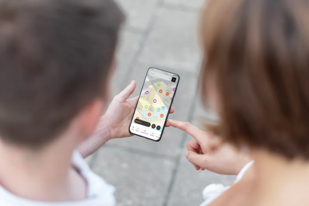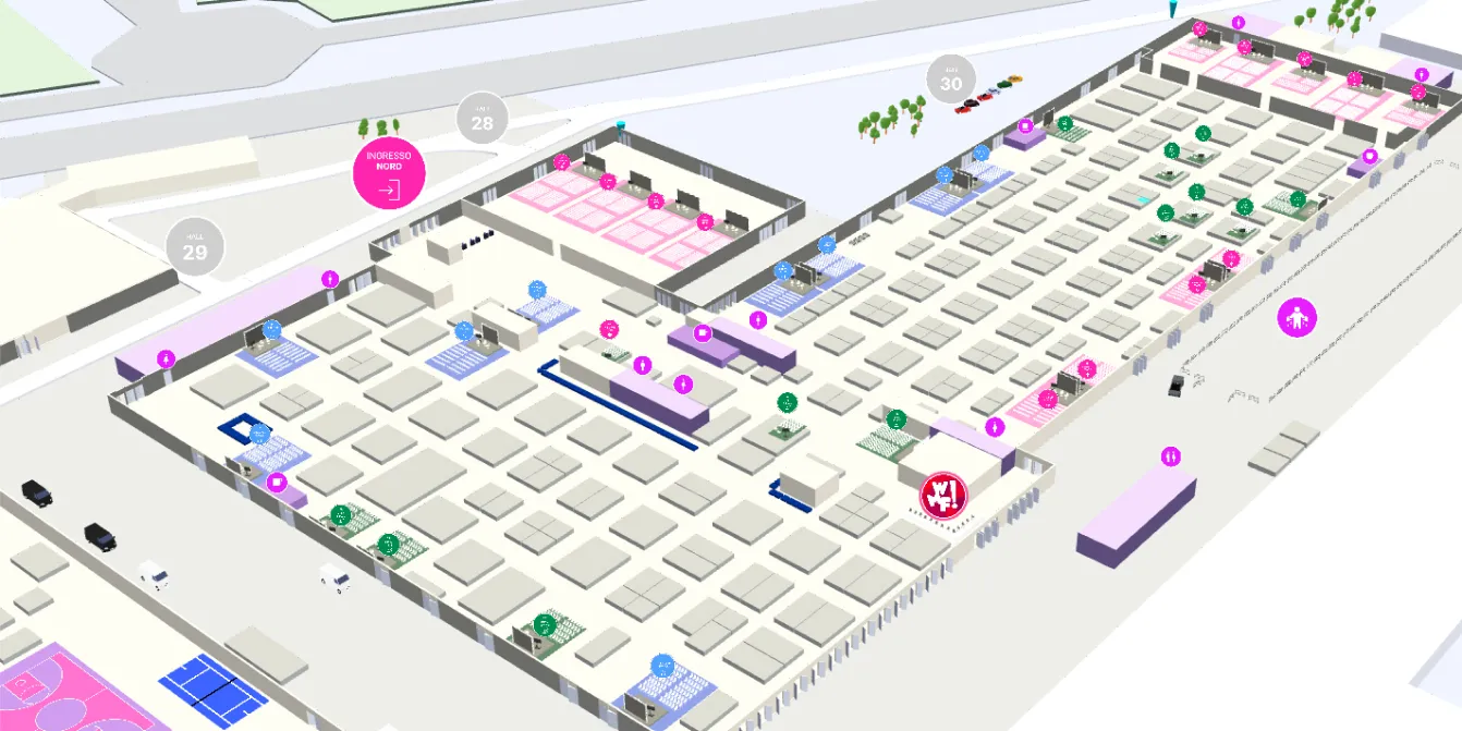

Finding your way around an exhibition spanning more than 70,000 m², spread across five halls and featuring hundreds of exhibitors, is no easy task.
For the 2026 edition of WMF – We Make Future, we developed a 3D map with indoor navigation, designed to guide visitors throughout their entire experience at the event.
The project integrated into the official Ibrida app, transformed the traditional exhibition floor plan into a digital tool capable of guiding visitors to booths, conference rooms, stages, food areas, and every major point of interest. To enable indoor positioning, the system was integrated with a Bluetooth Low Energy infrastructure powered by BlueUp beacons.
The Context
WMF is one of the world’s leading events dedicated to innovation, artificial intelligence, and digital technologies.
Every year, thousands of attendees move between exhibition areas, conferences, workshops, startup spaces, business meetings, and networking zones.
In an event of this scale, traditional signage and printed floor plans are often not enough to ensure a fast and intuitive visitor experience.
The goal of the project was therefore to create a solution that would make the venue easier to navigate while improving the overall visitor experience.
From a 3D Map to Wayfinding
The project started with the event’s 3D map.
Unlike a traditional floor plan, a digital map allows every booth, room, and point of interest to be connected to up-to-date information, content, and interactive features.
For WMF 2026, we added another layer: wayfinding.
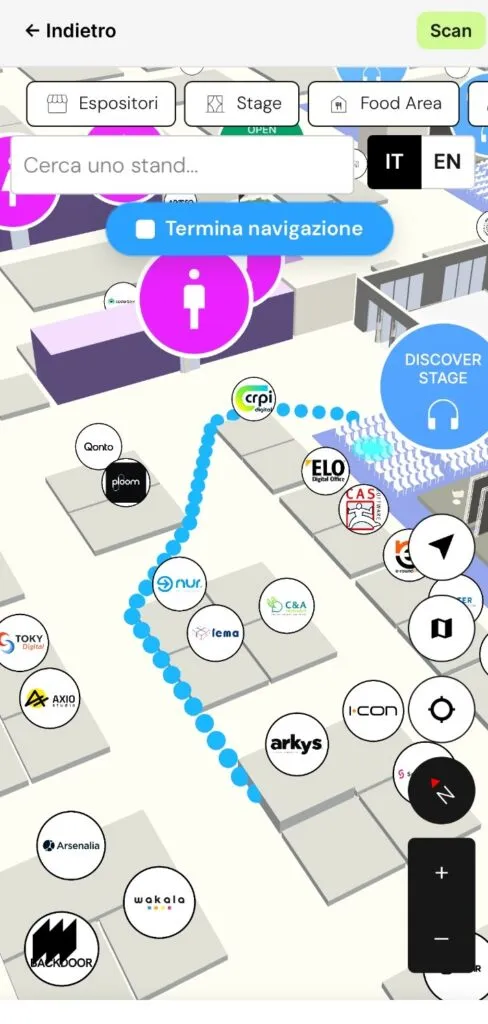
The map doesn’t simply show where places are located, it actively guides visitors to their destination through turn-by-turn indoor navigation.
To achieve this, the Mapdo platform was integrated into Ibrida, while indoor positioning was enabled through a Bluetooth Low Energy infrastructure based on BlueUp beacons.
The integration of these technologies transformed the 3D map into a complete indoor navigation system.
A Simple Experience for Visitors
The interface was designed to be intuitive and easy to use.
After opening the map, visitors can search for an exhibitor, conference room, stage, or any other point of interest and start navigation instantly.
The platform displays the user’s position inside the venue and suggests the best route, updating directions as they move.
The technology behind the experience remains completely transparent: visitors simply choose a destination and let the map guide them.
A Map That Creates Value
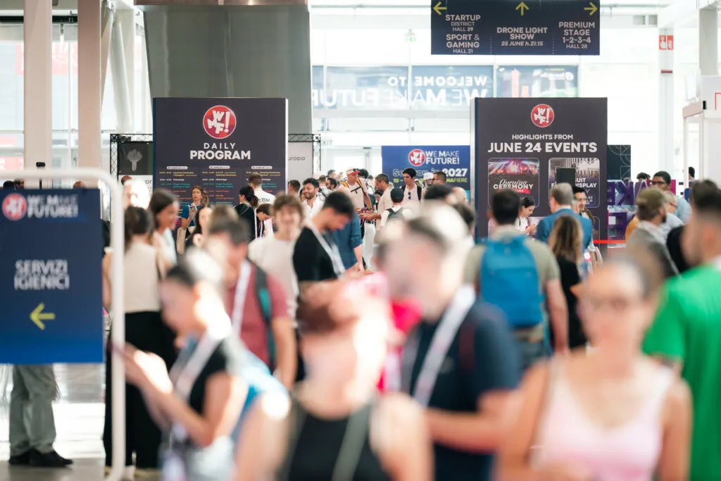
For us, a 3D map is much more than a navigation tool. It is a digital platform that connects people, places, and information.
At WMF, it helped visitors reach their destinations more easily, while also providing valuable benefits for event organizers and exhibitors.
Every location on the map can be enriched with information, multimedia content, links, and services, transforming the physical venue into a more accessible, connected, and engaging digital environment.
In addition, the data collected through the platform can help organizers better understand how visitors move throughout the venue, supporting space management and providing valuable insights to improve future editions of the event.
The Future of Event Mapping
The project developed for WMF 2026 represents the next evolution of digital event maps.
No longer just a representation of a venue, but a platform capable of guiding people, connecting information, and making complex environments easier to navigate.
This is the direction we’re heading: creating intelligent 3D maps that help organizers, exhibitors, and visitors experience physical spaces in a simpler, more intuitive, and more connected way.