
Digital wayfinding is a system that guides people through complex environments using clear, readable routes calculated in real time.
At events and in large venues, moving between booths, areas, and services can become challenging, especially for people with specific mobility or accessibility needs.
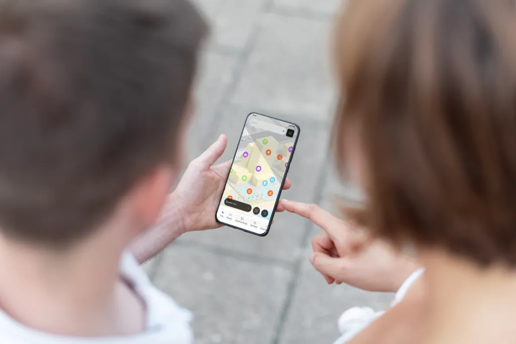
Our 3D maps don’t just display spaces; they create a navigation experience tailored to the user.
In this context, wayfinding makes it possible to:
- Guide people step by step through a location
- Create alternative routes based on user needs
- Improve accessibility for people with disabilities or reduced mobility
- Simplify orientation in complex spaces
- Reduce uncertainty and travel time
A key element is accessibility: each route can include specific variations, taking into account ramps, elevators, and accessible pathways.
From static maps to intelligent space navigation
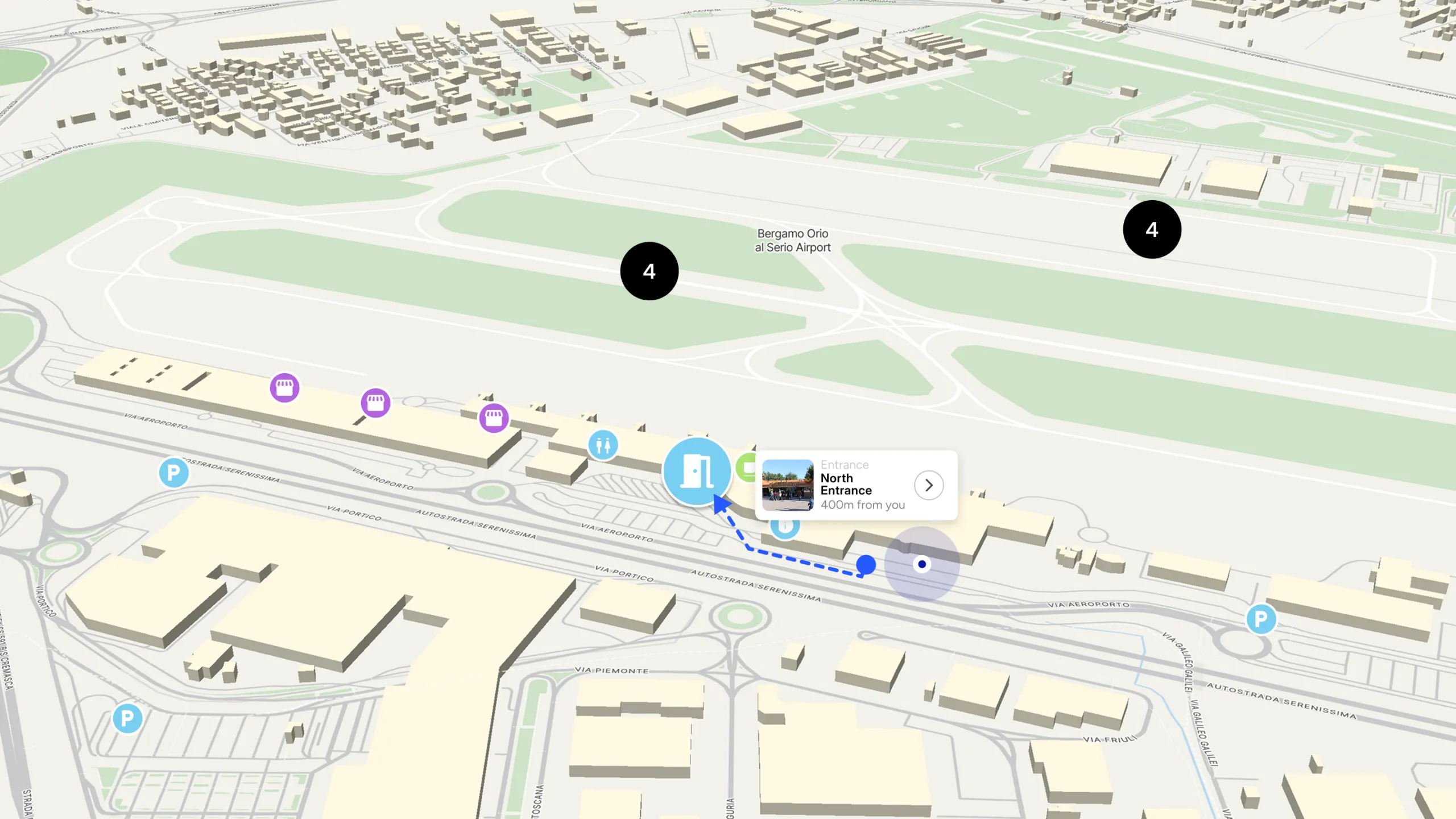
The wayfinding system is based on a digital representation of space, built from the actual floor plan.
The environment is transformed into a navigable network, where each element has a defined role.
The process works in three steps:
- Defining walkable space
The map is reconstructed by excluding obstacles such as booths, walls, or restricted areas, creating a real navigable base. - Adding points and services
All elements relevant to navigation are mapped, including:
- Accessible routes
- Ramps and assisted access points
- Main services
- Emergency exits
- Key elements for space management
- Calculating the optimal route
The system automatically computes the most suitable path between two points, adapting it to both spatial conditions and user needs.
The map is therefore not just an orientation tool, but a dynamic representation of space that considers mobility, safety, and accessibility.
When navigation becomes a tool for inclusion and safety
The main limitation of complex spaces is not just size, but the difficulty of making them accessible and understandable for everyone.
Wayfinding addresses this on multiple levels:
- For visitors: reduces stress and makes navigation easier
- For people with specific needs: ensures dedicated, accessible routes
- For organizers: improves flow management and space utilization
- For the venue: makes often-overlooked services visible and usable
In this way, space is understood as a complete environment, not just an exhibition area, but a place to experience safely and inclusively.
Where wayfinding becomes most valuable
Digital wayfinding is especially useful in environments where complexity comes not only from physical layout, but also from the volume of information and people.
It is particularly effective in contexts such as:
- Trade shwos: where hundreds of booths and content points make navigation difficult
- City-wide events: where activities are spread across multiple locations
- Shopping malls: where a wide variety of stores and services require intuitive routes
- Airports: where continuous passenger flows demand immediate orientation
- Arenas and stadiums: where large crowds require clear and well-distributed paths
Towards more readable, accessible, and intelligent spaces
Digital wayfinding introduces a more inclusive and intuitive way to experience complex environments.
Through dynamic and accessible routes, the map becomes a tool that guides people based on their real needs, improving both the visitor experience and space management.
An approach that makes environments more understandable, safer, and more accessible, turning navigation into a people-centered experience.